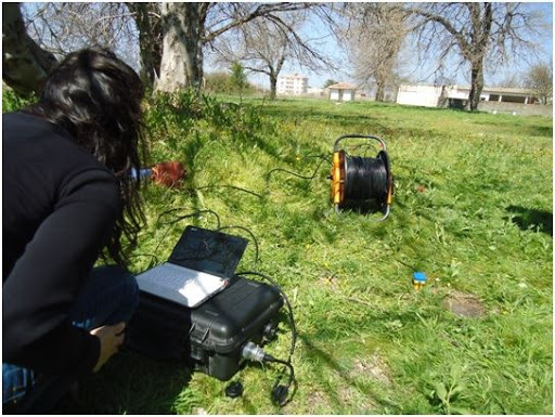
Advanced geophysical surveys: Electrical Resistivity, Seismic Refraction, Ground Penetrating Radar (GPR), and geotechnical hazard assessments.
Geophysics & Subsurface Geological Hazards Laboratory
The Geophysics Laboratory executes precision engineering and geophysical surveys to evaluate development sites, detect subsurface karst sinkholes and fault zones, map groundwater tables, and mitigate geohazards and slope instabilities.
State-of-the-Art Methodologies & Applications:
- Ground Penetrating Radar (GPR): High-resolution non-destructive imaging of subsurface voids, structural cavities, buried utilities, and tunnels.
- 2D/3D Electrical Resistivity Tomography (ERT): Stratigraphic cross-section mapping, groundwater aquifer delineation, and soil salinity profiling.
- Seismic Refraction & MASW: Determining P-wave and S-wave velocities to compute dynamic elastic moduli and foundation bearing capacity.
- Flash Flood & Rockfall Risk Assessment: Geomorphological and hydrological modeling to safeguard national highways and critical infrastructure.